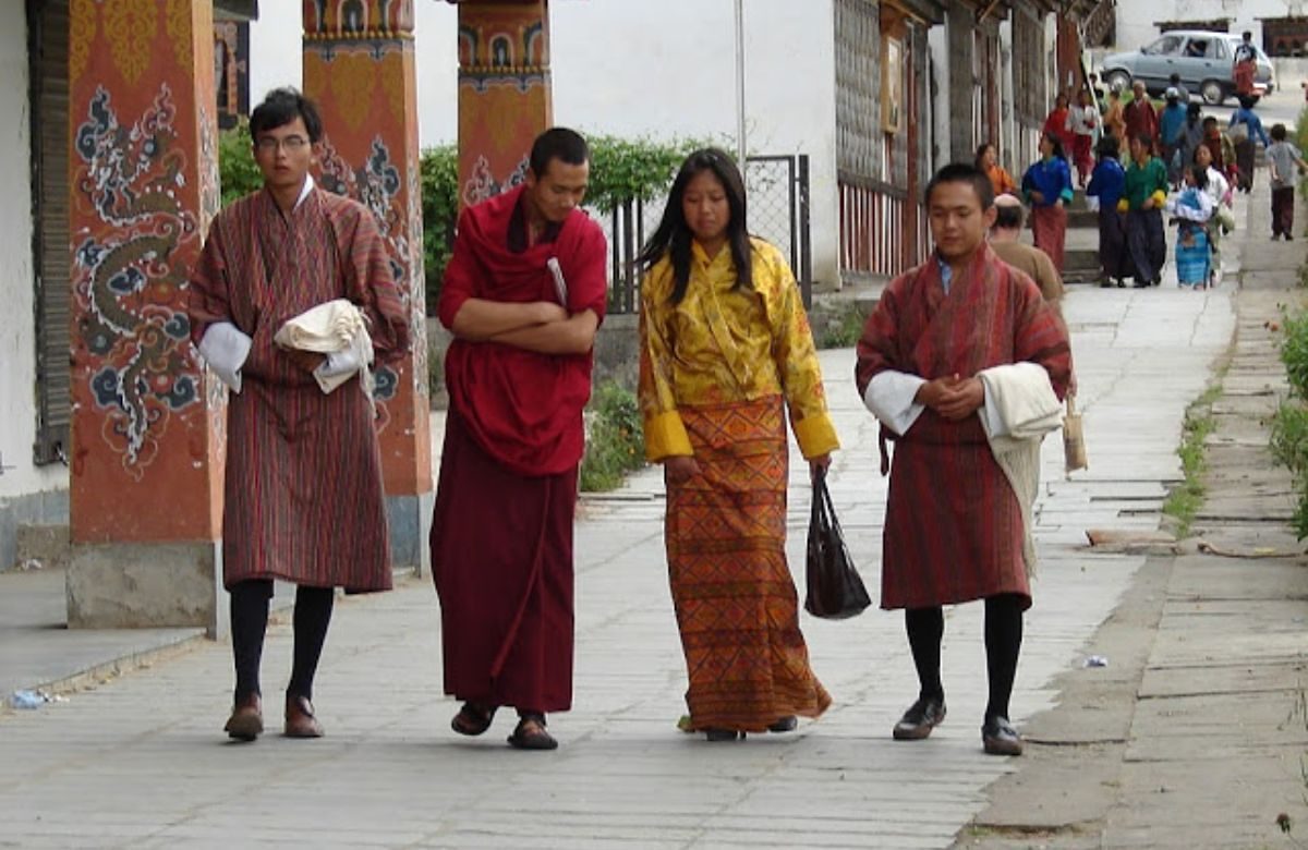
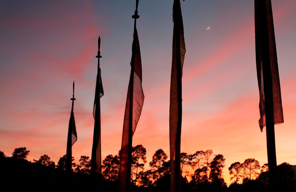
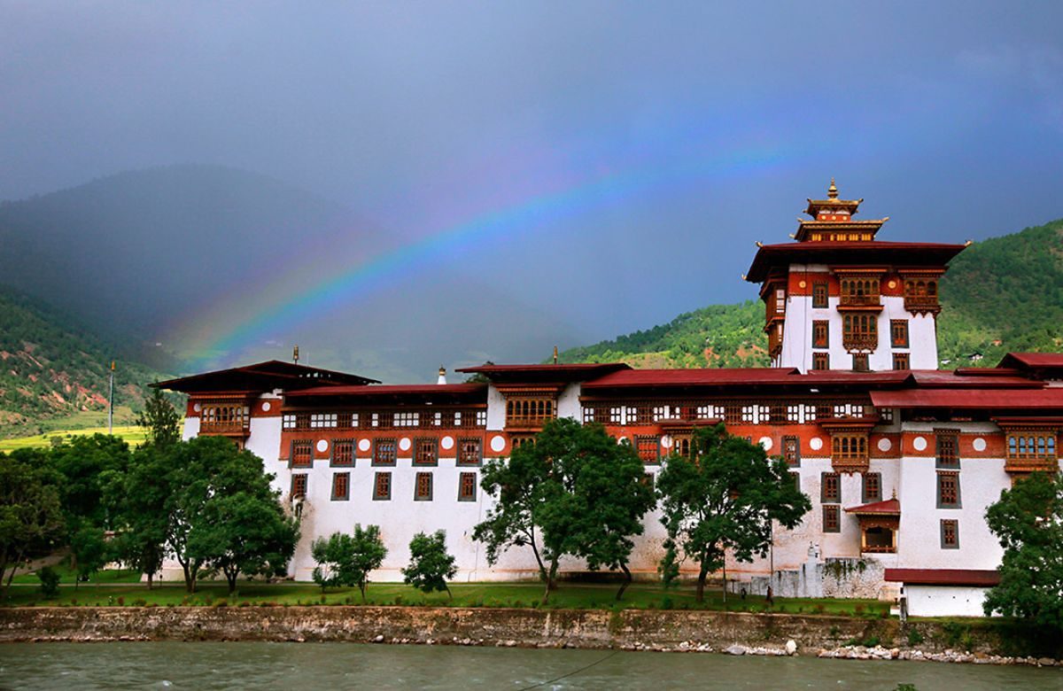
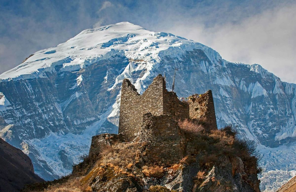
The valley behind Chele La — barley fields, two ancient temples, and the place Jamyang Tourism calls home.
The hidden valley
Bhutan's quietest western valley, and the one we know best.
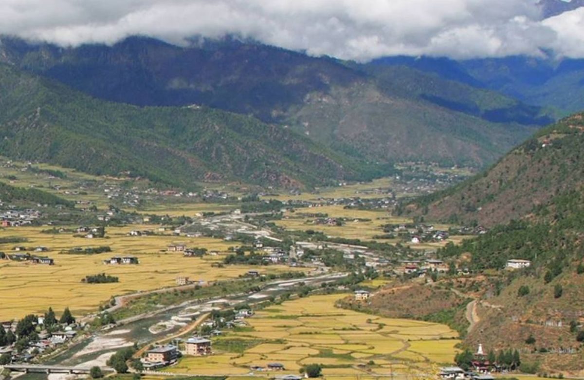
Haa lies at about 2,670 metres in the far west of
Bhutan, a narrow valley following the Haa Chhu between steep, forested ridges. It shares a
border with the Tibetan plateau to the north-west and with Samtse to the south, and for most
of the twentieth century it saw almost no visitors at all — the valley was closed to
foreigners until 2002.
That late opening is why Haa still feels the way the rest of western Bhutan is described
in older books. The town, Haa Throm, is one street of shops and a bridge. The farms grow
barley, wheat, potatoes and chillies. Ap Chundu, the valley’s protector deity, is honoured
every autumn, and the people who live here will tell you about him at length if you ask.
It is also our home. Our office is in Haa Throm, our guides grew up in these villages, and
when we say we can get you into a farmhouse kitchen it is because we know whose kitchen it is.
2,670 m
Valley floor
3,988 m
Chele La pass
2002
Opened to visitors
What to see
Four reasons the drive over the pass is worth it.
Lhakhang Karpo & Lhakhang Nagpo
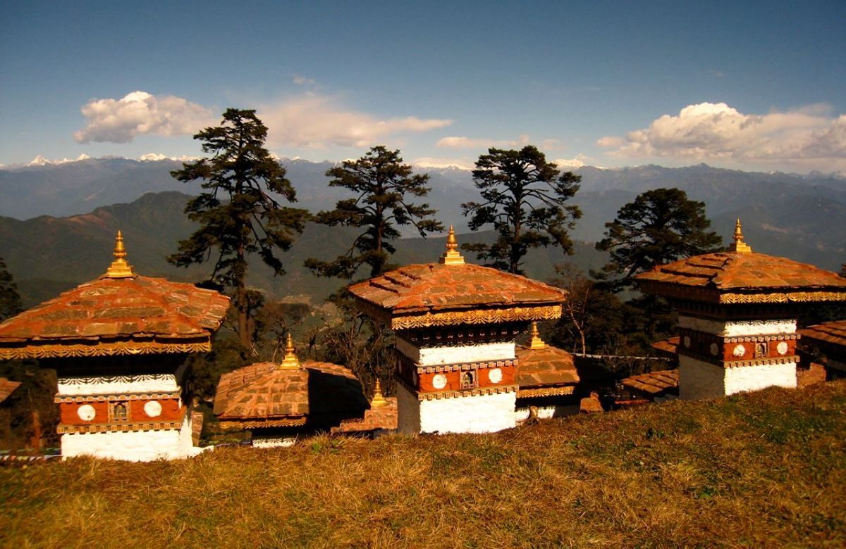
The White and Black temples stand a short walk apart on the valley floor. Local telling credits their siting to a white dove and a black dove released to choose the ground, and the two together are the oldest thing in Haa.
Chele La, at 3,988 metres
Bhutan’s highest motorable pass, an hour above the valley through fir and rhododendron. Prayer flags run along the ridge for hundreds of metres, and in clear weather Jomolhari stands on the northern skyline.
Katsho, Yangthang and the village walks
Haa is best walked. Field paths link the villages along the valley floor and up onto the shoulders — barley, buckwheat, wooden farmhouses with painted facades, and small lhakhangs that serve a handful of families each.
The Haa Summer Festival
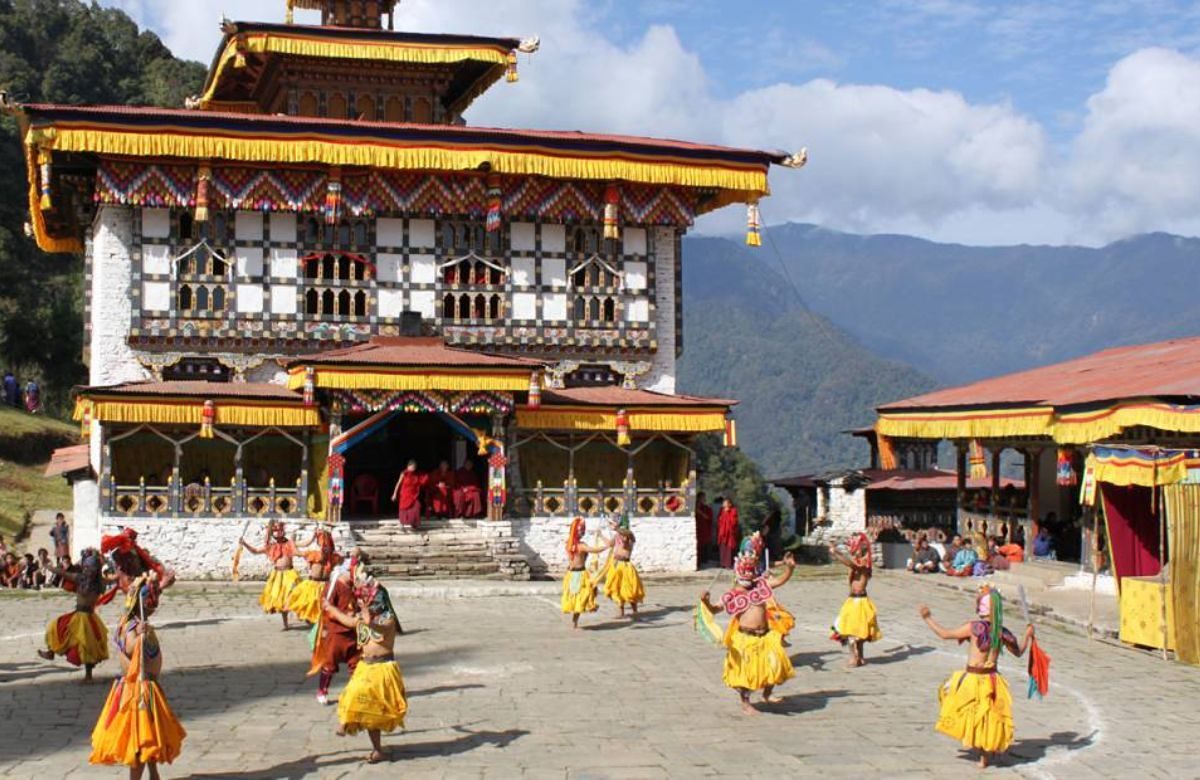
Held each July on the meadows by the Haa Chhu. Yak herders come down from the high pastures with their animals; there is archery, khuru, local food and dancing. It is still a village gathering, which is exactly why it is worth seeing.
Walking in Haa
Two routes out of the valley, on foot.
2 days
The Sagala trek
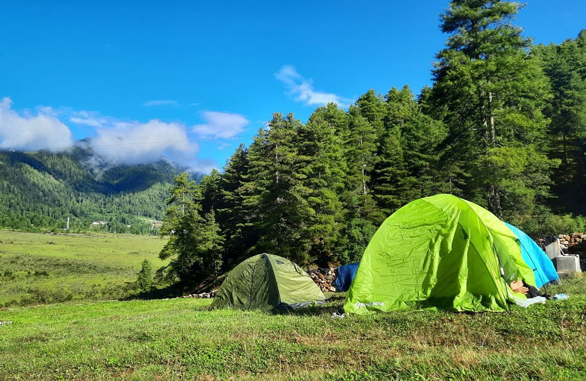
The old walking route between Haa and Paro, over a ridge of about 3,550 metres. One night in camp, wide views of the western Himalaya, and a gentle introduction to trekking in Bhutan.
3 days
Nub Tshonapatra
A harder route north-west from the valley to a high lake at around 4,200 metres, through yak pasture and open alpine country. For walkers who are already acclimatised.
Half day
Village paths
No camping and no crew — just field paths between Katsho, Yangthang and the hamlets above them, with a packed lunch and time to stop.
Cross Chele La at 3,988 m into the valley that only opened to visitors in 2002 — barley fields, blue pine, two ancient temples and the people we grew up with.
By road from Paro, either over Chele La — about two and a half hours, and the way we recommend — or the longer, lower route via Chuzom. Haa is roughly three and a half hours from Thimphu. There is no airport in the valley; you fly into Paro.
Two nights is the minimum that makes the drive worthwhile, and it is what our five-night journey allows. Three nights gives you a full walking day and a festival or a farmhouse evening as well.
It is held in July each year, over two days on the meadows beside the Haa Chhu. The exact dates are announced annually, so ask us and we will confirm the year you are travelling.
There are small hotels in and around Haa Throm and a number of farmstays in the villages. Standards are simpler than in Paro or Thimphu, and a farmstay night — with a hot-stone bath if you ask in the morning — is usually the part people remember.
Enquire
Come and see the valley we come from.
Two nights in Haa changes the shape of a Bhutan trip. Tell us your dates and we will show you how it fits.